The Japanwilds project had three major challenges:
• Over 100 hiking maps needed to be organized into a clear structure
• Visitors needed an intuitive way to explore hiking locations across Japan
• Partner content such as blogs and videos needed to connect to each location
Without a structured discovery system, visitors would struggle to navigate such a large collection of routes and regions.
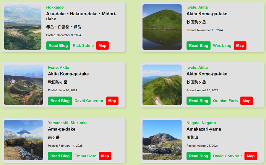
The final platform unified more than 100 hiking maps into a single structured discovery experience.
Visitors can now:
• explore hiking locations through an interactive map
• access partner articles and videos connected to each route
• easily navigate across regions of Japan
The system also created a scalable foundation for expanding tourism content in the future.
This work later led to collaboration with the Nagano Prefecture tourism initiative.